
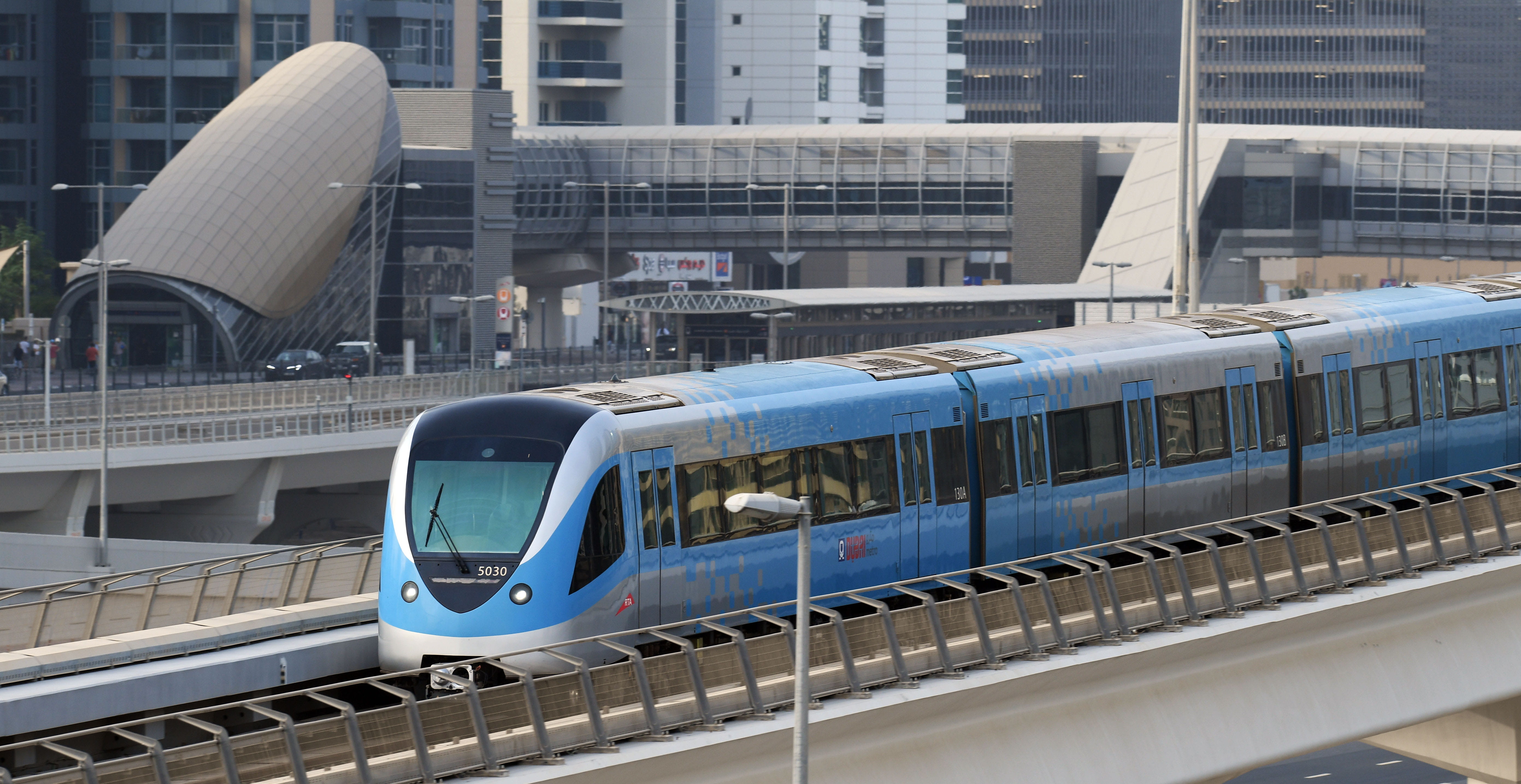
The Dubai Metro Red Line is one of the two lines of the Dubai Metro system, which is a rapid transit rail network in Dubai, United Arab Emirates. The Red Line is one of the busiest lines of the metro, running from Rashidiya to Jebel Ali, covering a distance of 52.1 km (32.4 mi) with 29 stations.
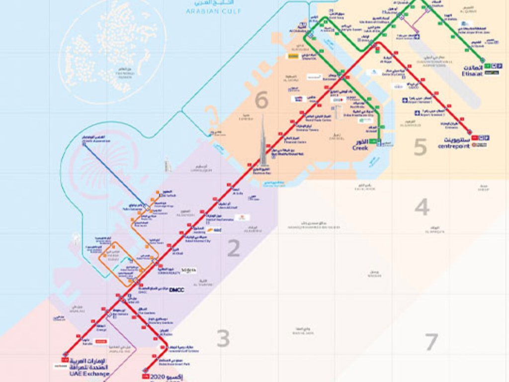
Here are the stations on the Dubai Metro Red Line, listed from north to south:
- Rashidiya
- Emirates
- Airport Terminal 3
- Airport Terminal 1
- GGICO
- Deira City Centre
- Al Rigga
- Union Square
- BurJuman
- ADCB
- Al Jafiliya
- World Trade Centre
- Emirates Towers
- Financial Centre
- Burj Khalifa/Dubai Mall
- Business Bay
- Noor Bank
- First Abu Dhabi Bank
- Dubai Internet City
- Dubai Marina
- Jumeirah Lake Towers
- Nakheel
- Sharaf DG
- Dubai Internet City
- Mall of the Emirates
- First Abu Dhabi Bank
- Dubai Production City
- Dubai Sports City
- Jebel Ali
Here is a map of the Dubai Metro Red Line route: